
A Placemaking Journal
Digges Island: Heart of the Arctic
Day 4
 Monday, July 20, 2015
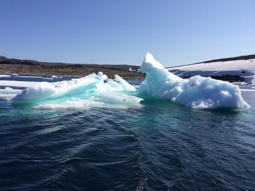
This is the first time we’ve been north enough for sea ice, which reinforces the fact that we are on an expedition, not a cruise. We traveled through 1-3/10 sea ice for 45 nautical miles, starting around midnight with high seas. This means that this particular ice is 1-3 years old. It provides a great opportunity for viewing wildlife, and we all spent much more time outside on deck than during the last three days.
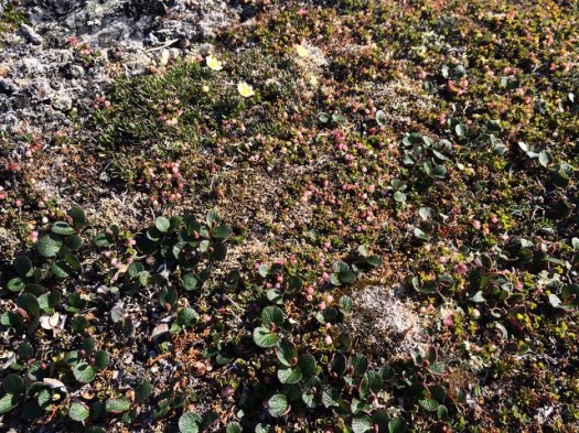
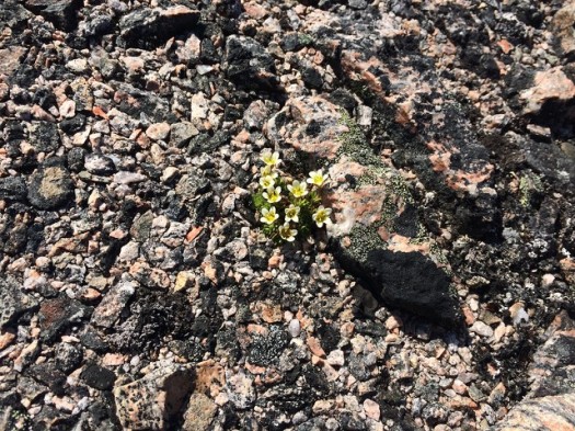
Sir Dudley Digges was an Englishman who financed an expedition in 1610 by Henry Hudson, for whom Hudson’s Bay was named. However, Hudson wasn’t a very nice guy, and his crew abandoned him here, where he died. His crew wasn’t that friendly either, and when they went ashore on Digges Island, six of them were executed by the locals. The only locals on the island now are birds and an abundance of plant life.
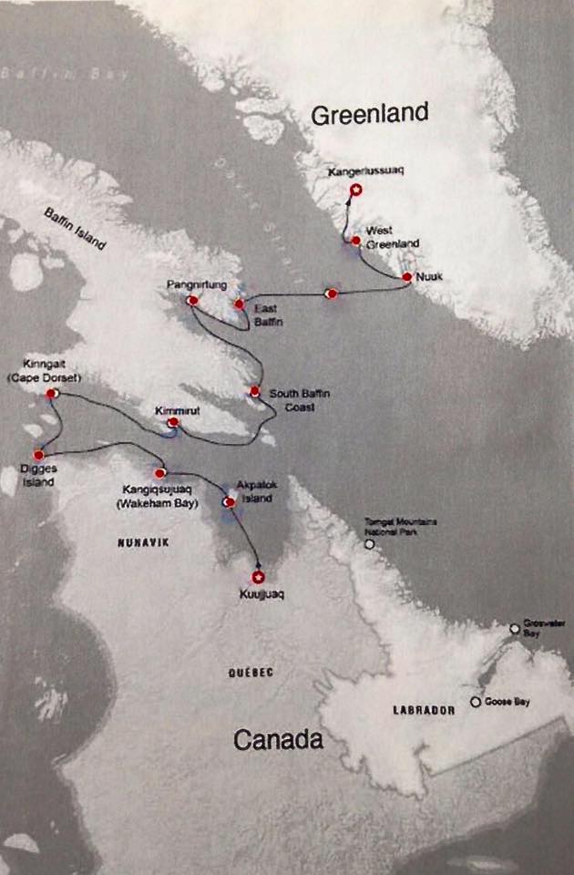
The journey in full. Click for larger view.
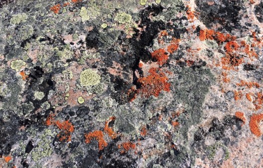
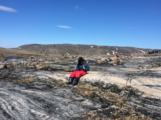
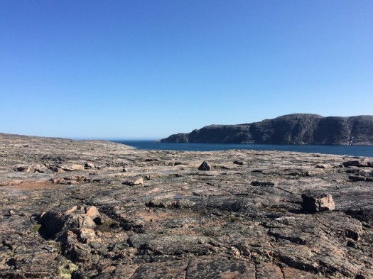
The landform is an island sculpted by glaciers and cut by a diorite dyke. Rocks are mylonite which were down 15 to 20 km, and deformed under high pressure and high temperature, with great black and pink stripes.
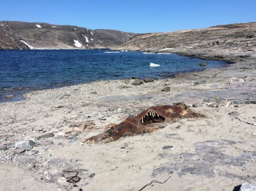
While I only saw one dead walrus on the beach, some of today’s adventurers saw the live version, from the Northern Hudson Bay population. They are considered the most dangerous animals in the Arctic, more dangerous than polar bears. Needless to say, we kept our distance.
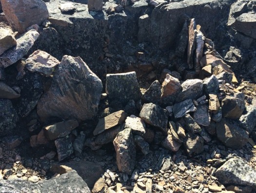
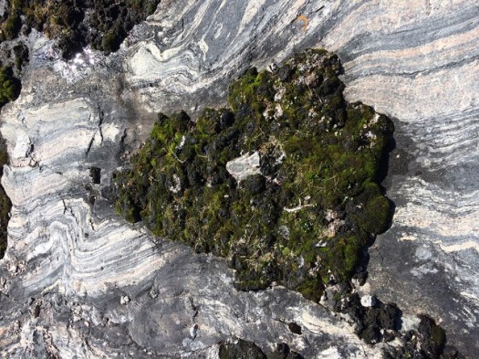
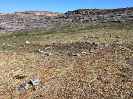
Interesting stone arrangements, like tent rings, were in recent use by Inuit in the region using the island for hunting. Inuksuks point out the best areas. Stone fox traps we found were of a design that’s thousands of years old, so it’s tough to say when they were built. Lichen growing more thickly on the rocks signals past human activity across the currently uninhabited island.
An archaeological expedition permit from Parks Canada, and very tight guidelines for our behavior, allows us on the island as well as several others we are visiting. The ancient Thules, an advanced whaling civilization, left marks on the island including stone house foundations and a karigi or a stone gathering place for men, dating sometime from 1400 AD. These low, hunkered down stone structures are much more well-fitted for the environment than the newer structures we are seeing in contemporary villages.
To read the entire Heart of the Arctic series, go here.

If PlaceShakers is our soapbox, our Facebook page is where we step down, grab a drink and enjoy a little conversation. Looking for a heads-up on the latest community-building news and perspective from around the web? Click through and “Like” us and we’ll keep you in the loop.
