
A Placemaking Journal
Ranson, West Virginia

Having attracted $6 million in grants and loans from three federal agencies, HUD, EPA and DOT, the city of Ranson, West Virginia, contracted with an international team of consultants for Transect-based planning. With the EPA money, the planning partners designed proposals for re-purposing six brownfield sites for new businesses. HUD funding provided resources for a rezoning approach to guide smarter growth and redevelopment. And the DOT grant enabled the redesign of a key corridor into a connective boulevard and plans for the transformation of historic Charles Washington Hall in Charles Town into a commuter center, strengthening links between regional rail and regional residents.
In a series of meetings with community members, the separate planning efforts were interwoven into a comprehensive strategy that includes a Transect-based comprehensive plan, form-based code, and master plans. “The whole became greater than the sum of the parts,” said Mayor Hamill. PlaceMakers led the HUD portion, as well as providing facilitation, public engagement, and an interactive website for all three efforts. Each step in the process was documented on the project iCharrette at ransonrenewed.com. Citizens, officials and future community investors can follow the progress from beginning until final unanimous passage of the proposals on April 17, 2012.
One particularly interesting aspect of the project’s online engagement was the fact that it was ultimately playing to two distinct audiences. On the one hand, it was a tool for initiating and fostering local awareness, understanding and participation; on the other, it was chronicling a successful and efficient use of taxpayer dollars for those involved in or otherwise following federal efforts.
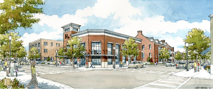
Within the initiative, an update to the community’s comprehensive plan included heavy economic development and finance strategies, leveraging downtown American Public University Systems synergies. An agrarian urbanism neighborhood master plan on a historic farm, pictured below, envisioned a lively, mixed-use town center adjacent to active agriculture and scenic countryside, while clustered development conserves infrastructure. Finally, a form-based code rezoned Old Town plus almost 1,000 acres of greenfield land, keeping the remainder of the city under Euclidean zoning, to make for a hybrid zoning code.


